 README
README
geolocation
Geolocation REST API, obtain IP address geolocation data Location is extracted by looking up user IP in a Geo DB (from Maxmind).
Instructions
- Make sure you have Go installed (download).
- Make sure you update the MaxMind license key in the configuration with your key.
- Then you can either run
make runto run locally, ormake api-upto run in a docker container. - To build an executable binary file, run
make buildin a command line terminal. This will build and creategeolocationfile.
Configuration:
- There are two configuration files by default:
devandlocaldocker, but we can add as many config files per each environment, for exampleprod. To use a specific config file before running the application, specifySERVER_MODEenvironment variable. for exampleSERVER_MODE=dev,SERVER_MODE=prodorSERVER_MODE=your_config_file. This will tell the application to look fordev.yaml,prod.yamloryour_config_file.yamlfile and reads the configurations from that file. If you don't specify a value forSERVER_MODEenvironment,devwill be selected by default. - Configuration files are located under
configsfolder. - Format of the configuration file is YAML.
GEO_CITY_DB:
The file name of GEO DB. (The latest version will be downloaded from https://dev.maxmind.com/geoip/geoip2/geolite2/ each time you run the api, and will be scheduled to download it every day. It needs you to sign up and create a License Key)
It is located under the geodb folder.
How to run
Build and run locally:
- Build the application (read the instructions section)
- Run this command in the terminal:
SERVER_MODE=dev ./geolocation
Output:
11:22AM INF pkg/config/config.go:13 > Configs are being initialized
11:22AM INF pkg/maxmind/maxmind.go:55 > Downloading maxmind db...
11:22AM INF cmd/api/main.go:115 > starting api server addr=:3000
Run in a docker container:
- Build and run api (
make api-up) Docker will run and, then you can use the webservice with port 3000 (configurable in the configs files).
command line arguments:
loglevel: log level can be a value fromtrace,debug,info,warn,errorexamplemake run -loglevel=info
Consuming the webservice
-
To check if the webservice is running, call this utl in a browser (http://127.0.0.1:3000). Note: Make sure the port 3000 is already free in the hosting environment.
-
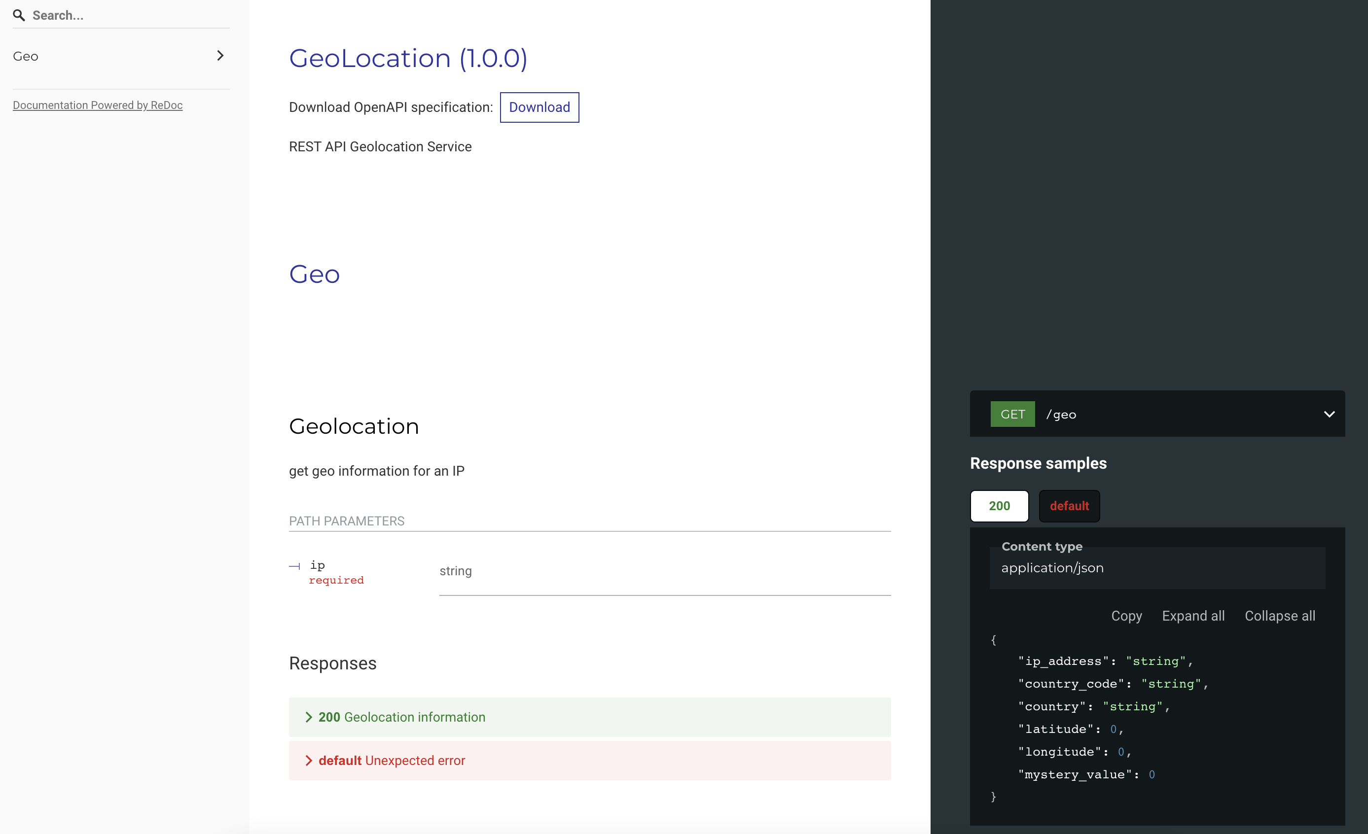 This is the swagger documentation of the webservice.
In this page you can also download the swagger file.
This is the swagger documentation of the webservice.
In this page you can also download the swagger file. -
Usage
GET http://localhost:3000/api/v1/geo/1.2.3.4
Response:
{
  "City": {
    "GeoNameID": 0,
    "Names": null
  },
  "Continent": {
    "Code": "OC",
    "GeoNameID": 6255151,
    "Names": {
      "de": "Ozeanien",
      "en": "Oceania",
      "es": "Oceanía",
      "fr": "Océanie",
      "ja": "オセアニア",
      "pt-BR": "Oceania",
      "ru": "Океания",
      "zh-CN": "大洋洲"
    }
  },
  "Country": {
    "GeoNameID": 2077456,
    "IsInEuropeanUnion": false,
    "IsoCode": "AU",
    "Names": {
      "de": "Australien",
      "en": "Australia",
      "es": "Australia",
      "fr": "Australie",
      "ja": "オーストラリア",
      "pt-BR": "Austrália",
      "ru": "Австралия",
      "zh-CN": "澳大利亚"
    }
  },
  "Location": {
    "AccuracyRadius": 1000,
    "Latitude": -33.494,
    "Longitude": 143.2104,
    "MetroCode": 0,
    "TimeZone": "Australia/Sydney"
  },
  "Postal": {
    "Code": ""
  },
  "RegisteredCountry": {
    "GeoNameID": 2077456,
    "IsInEuropeanUnion": false,
    "IsoCode": "AU",
    "Names": {
      "de": "Australien",
      "en": "Australia",
      "es": "Australia",
      "fr": "Australie",
      "ja": "オーストラリア",
      "pt-BR": "Austrália",
      "ru": "Австралия",
      "zh-CN": "澳大利亚"
    }
  },
  "RepresentedCountry": {
    "GeoNameID": 0,
    "IsInEuropeanUnion": false,
    "IsoCode": "",
    "Names": null,
    "Type": ""
  },
  "Subdivisions": null,
  "Traits": {
    "IsAnonymousProxy": false,
    "IsSatelliteProvider": false
  }
}
- geoip-golang (https://github.com/oschwald/geoip2-golang)
To read from geoip db file.
- viper (https://github.com/spf13/viper)
Viper is a complete configuration solution for Go applications including 12-Factor apps. It is designed to work within an application, and can handle all types of configuration needs and formats.
GeoLite2: This product includes GeoLite2 data created by MaxMind, available from https://www.maxmind.com